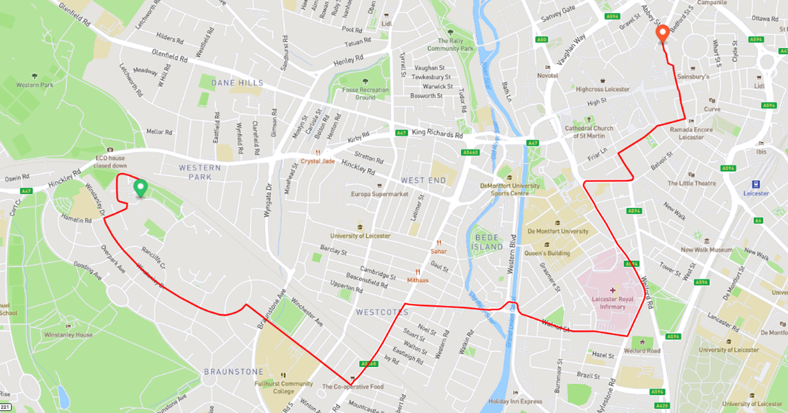
What is it?
Centrelines are data that represent the geographic centre of road rights-of-way on transportation networks. In services, they depict the route the vehicle will take, which will include around roundabouts, around corners, and even which lane to use in multi-lane highways.
When tracking buses using GPS data, the Ticketer ETMs can use this Centreline data to ‘snap’ the vehicle’s location to the road track, meaning it will more accurately follow the road. GPS ‘drift’ can be minimised through the use of Centreline data, meaning that third party systems, such as local authority RTI feeds, BODS data and bus apps, will see improved geographical positioning of all buses.
Centreline data is usually created by scheduling systems and can be added to your service configuration by importing that data element from your TransXchange files. To enable using Centreline data on your services and to find out more about this addition, please contact our friendly Support Team.


